Computational Facilities
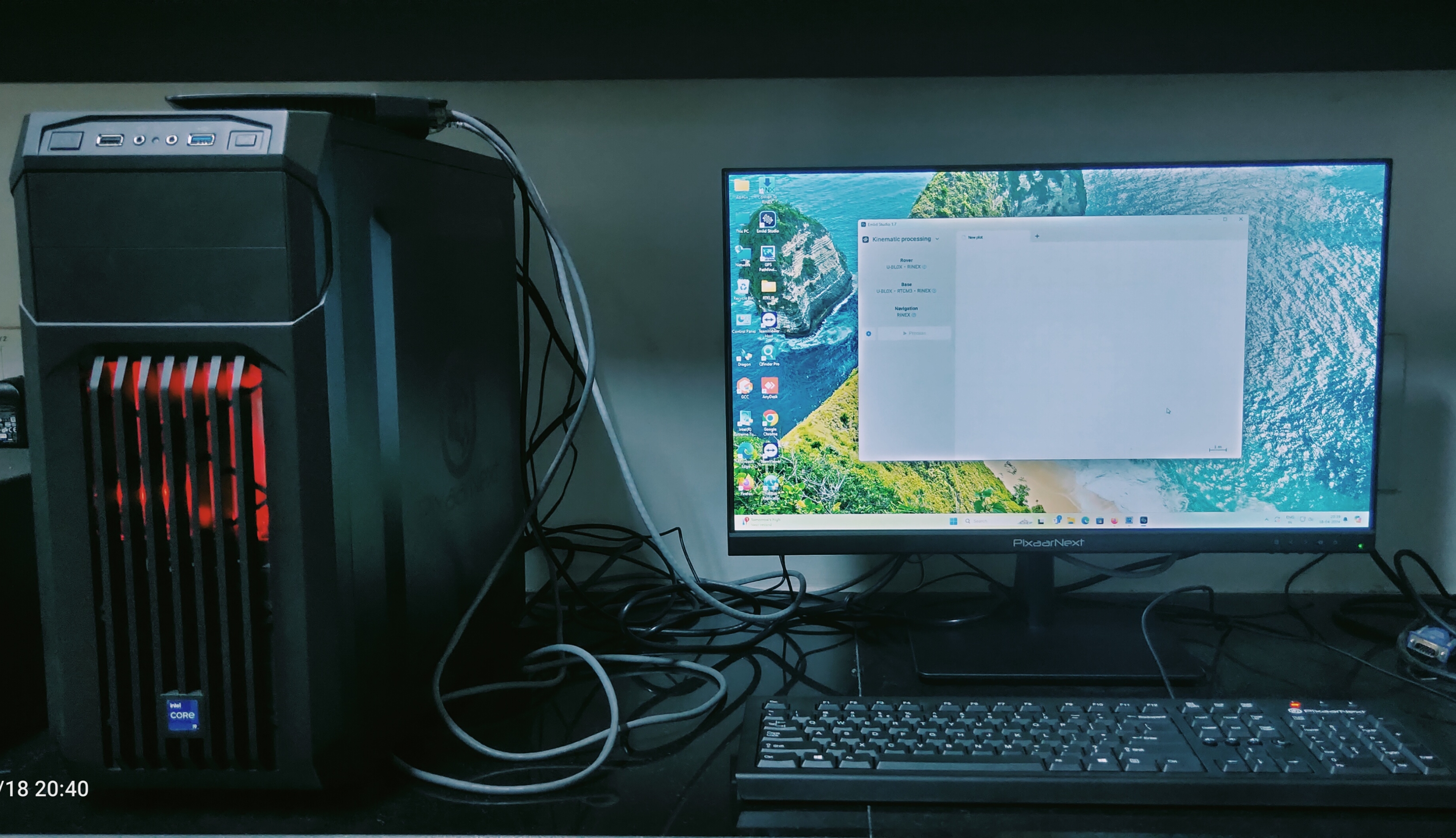
GNSS Data Processing Workstation
Powerful computing setup optimized for post-processing raw GNSS data, enabling precise coordinate determination and geodetic analysis.
Pixaarnet Workstation-3 Nos.- i9 Powered Computers
- 32 GB RAM
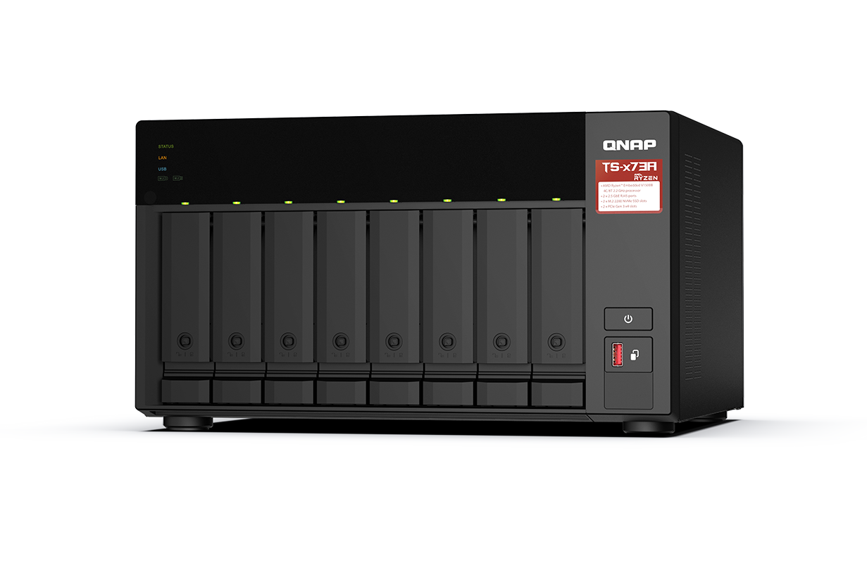
Network-attached storage (NAS)
A centralized, high-capacity data storage solution for vast geospatial datasets, research archives, and project files.