Indian Institute of Technology Bombay
Powai, Mumbai-400076
Maharashtra, India.



Current research activities in our group fall under the following wide range of areas like Satellite Rainfall Estimation and its applications, Snow Depth Estimations using Satellite Remote Sensing, GNSS-IR, Data assimilation based Catchment Hydrological Modelling, Glacier Stored Volume Estimation, Glacier Dynamics Modelling, Glacier Debris Thickness Modelling, Flood Risk Communications using Augmented Reality using a variety of Hydrological and Hydrodynamic models, unified by water and remote sensing.
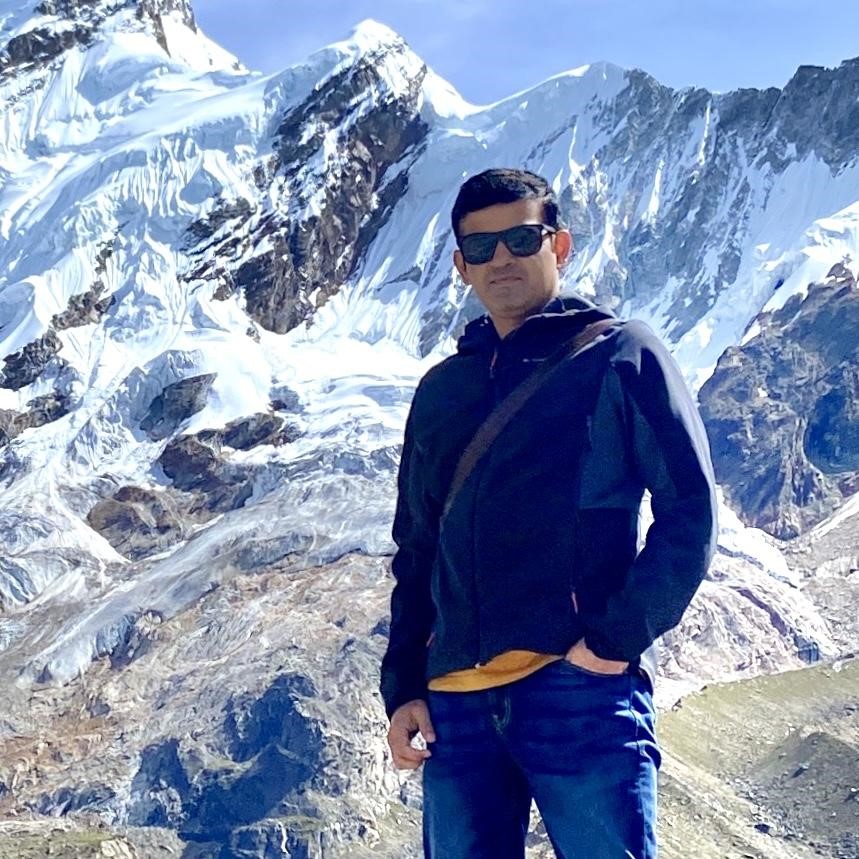
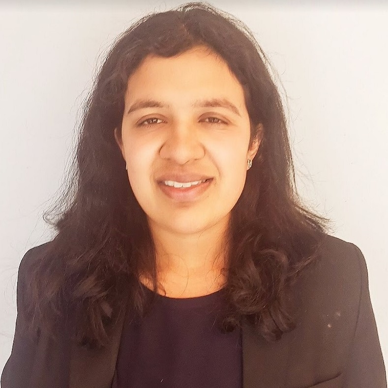

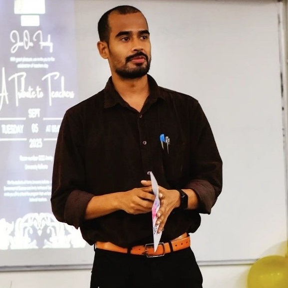
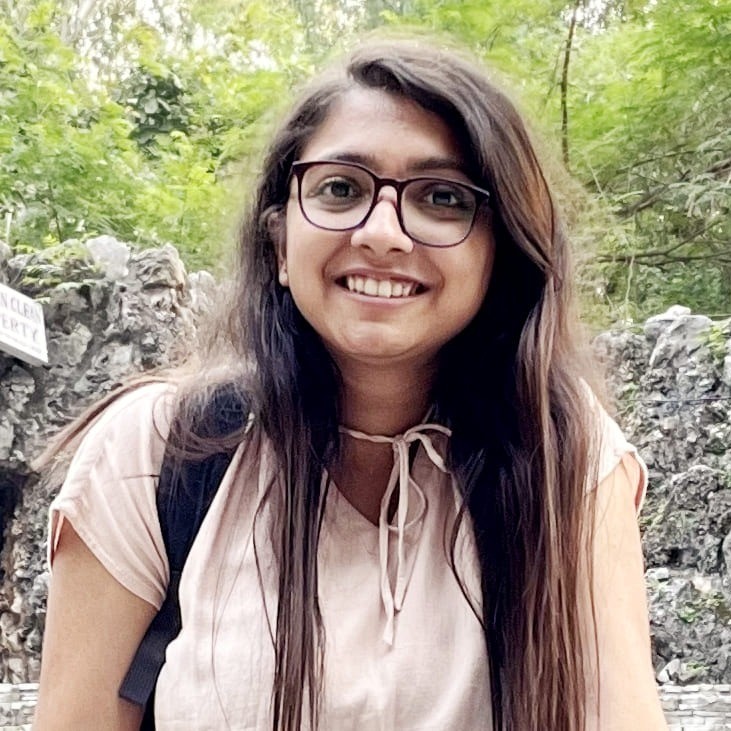

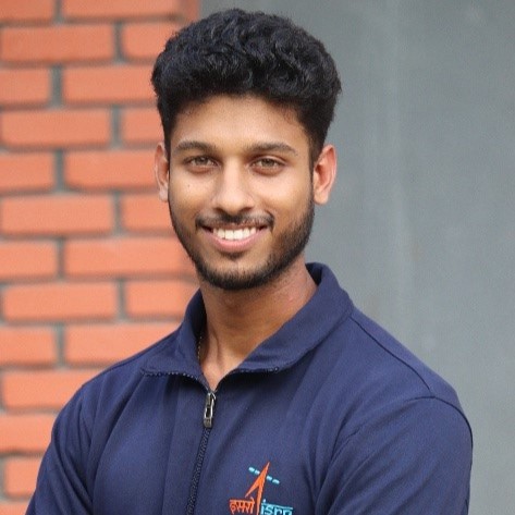
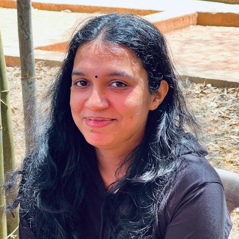

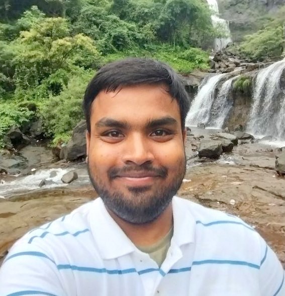
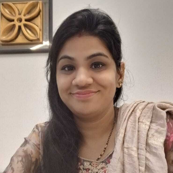
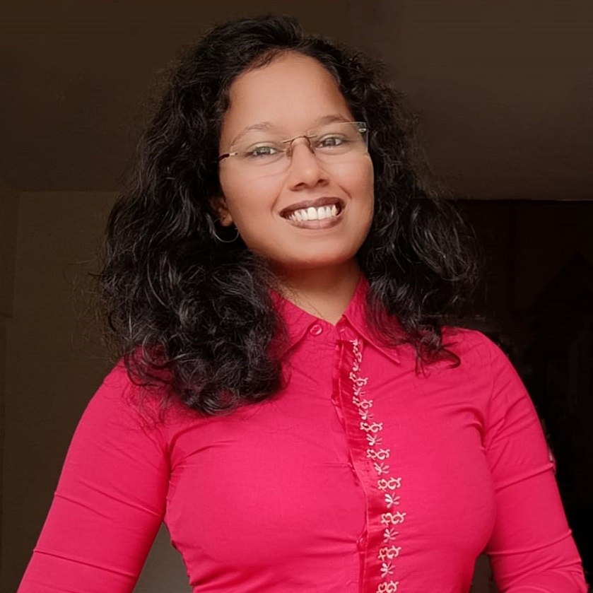

 Email
Email
 Linkedin
 Research Gate
My research mainly focuses on developing and improving near real-time satellite-based rainfall estimates using satellite-based near real-time soil moisture through machine learning techniques.

 Email
Email
 Linkedin
The main aim of my work is to extract and evaluate Precipitable Water Vapor (PWV) using GNSS observations, supported by meteorological datasets and tropospheric delay models. Analysing the PWV variability during pre-, peak-, and post-monsoon season.
 Email
Email
 Linkedin
 Research Gate
The main aim of my reasearch is to estimate present and past ice volume stored in the mountain glaciers of the Himalayan Karakoram region.

 Email
Education Qualification
My work focuses on exploring the role of debris cover and its thickness in glacier dynamics using thermal remote sensing.

 Linkedin
My research interests focuses on the impacts of proglacial lakes and supraglacial debris cover on glacier evolution in Indian Himalayas.
Accomplishments
 Email
Email
Design and development of continuously operating GNSS-IR stations to estimate snow depth and to monitor environmental hazards.

 Linkedin
My research focuses on improving snow depth estimation using SAR based remote sensing in the mountainous region.

 Email
Email
 Linkedin
Education Qualification
Detection and Prediction of Mountain Geo-hazards using remote sensing.

 Email
Email
 Linkedin
I am currently working on the use of GNSS Reflectometry to estimate various geophysical parameters such as soil moisture and snow depth. I wish to analyse snow depth in the Himalayas using the GNSS R technique.

 Email
Email
 Linkedin
My research focuses on how the glaciers in Ladakh Himalayas evolve with reaction to climate change and their hydrological implications using numerical modeling techniques, remote sensing, and fieldwork.

 Email
Email
 Linkedin
 Research Gate
The main aim of my work is to evaluate different SAR techniques for subsidence calculation in permafrost regions and estimating the active layer thickness in these areas.

 Email
Email
 Google Scholar
 ORCID
ORCID
 Scopus
Post Doctoral Fellow, Department of Civil Engineering, IIT Bombay.
Education QualificationHimalayan glacial dynamics and recession, associated risks (glacial lakes and GLOFs), climate change, landscape evolution and Quaternary Geochronology.
Research SummaryMy research mainly focuses to understand the response of glacier dynamics in changing climate scenarios and resulting contribution to regional water balance; to comprehend the timing and extent of Quaternary glaciations in the Himalayan region and its impact on landscape evolution; and to identify the risk of triggering glacial hazards in context to reported climate warming and glacial fluctuation and associated lake formation in the Himalaya in order to formulate risk-based adaptation strategies. I use geophysical field mapping (GPR, DGPS, Terrestrial Lidar, glaciological mass budget etc.), geoinformatics (Remote sensing and GIS), and geochronology (OSL and CRN) as a major tool to monitor glacier dynamics and numerical modelling to comprehend future evolution and water availability.

 Email
Email
 Linkedin

 Linkedin
Junior Research Fellow (JRF) at IIT Bombay
Education Qualification
 Linkedin
 Research Gate
My research focuses on improving snow depth estimations using satellite altimetry, integrating remote sensing techniques and advanced geospatial methods to better understand cryospheric processes.

 Linkedin
The main theme of my PhD work is Data assimilation where I am intended to assimilate various remotely sensed observations like rainfall, ET, soil moisture into distributed hydrological models to improve the streamflow estimates.

 Email
Website link:
Education Qualification
I am currently working on GRACE data processing to spatially downscale the GRACE water storage changes.
Awards and AchievementsI have been awarded DAAD KOSPIE scholarship to complete my master thesis in Germany for 7 months at TU Dresden. This a highly prestigious scholarship aimed to develop collaboration in fields of Science and Engineering between developing nations and Germany.

 Email
Email
The main aim of my work is to analyse the volume change of the reservoir by satellite altimetry datasets to observe the sedimentation in the reservoir.

 Email
Email
My research focuses on developing and applying remote sensing based approaches to monitor and quantify lake volume dynamics.

 Research Gate
The main aim of my work is to establish end-to-end strategies for user to facilitate documentation of Heritage Structures.

 Email
Email
 Linkedin
 GitHub
The main theme of my PhD work is to study the application of Augmented Reality(AR) for urban flood risk communication. I am also working on Aerial LiDAR data for 3D urban infrastructure reconstruction.

 Email
Email
 Linkedin
Working professional with 24+ years of experience in Software Industry. Engaged with distributed teams across the globe to provide world class products and services. I have successfully applied for 3 patents related to Location domain.
Education QualificationThe main aim of my work is build a resilience flood index for an urban environment.

 Email
Current Designation
Project Assistant, IIT Bombay
Education QualificationI am working on SAP application to process bills and co-ordinate with external vendors and schedule appointments. I also manage project files and do all admistrative works.

 Email
Current Designation
Technical Assistant, IIT Bombay
Education QualificationCurrently working as a technical supportive staff for the project held under this department. along with this I am handling my administrative duties.
