Indian Institute of Technology Bombay
Powai, Mumbai-400076
Maharashtra, India.




Members who were associated with H-RSA group in different roles are included below.
Here you can find their major research theme and contact details.












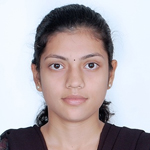


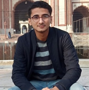

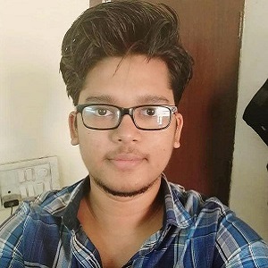
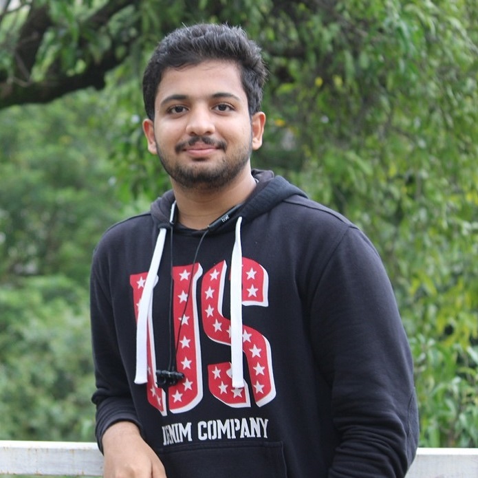










 Email
Current Designation
Senior Lecturer at Durban University of Technology, South Africa.
Theme of workHydrological Modelling for water quality estimations of the Vaal catchment, South Africa using SWAT Model.
DurationOct 2012 - Jan 2014 though CV Raman International Fellowship for African Researchers, 2013

 Email
Current Designation
Assistant Professor, Central University of Karnataka, Kadaganchi, Karnataka
Theme of workA Knowledge-Based Approach for Mapping Supraglacial Covers of Debris-covered glaciers in parts of the Greater Himalaya Range, Western Himalaya using multispectral-thermal Landsat data and Cartosat-1 DEM.
DurationApr 2013 - Dec 2014

Consultant, Earth Now Technologies Llp, Maharashtra
Education QualificationDuring my Post Doctoral Fellow, I developed a new model to estimate glacier ice thickness in the Himalaya. The model was then used to estimate the volume of glacier stored water for the 5th largest glacierized basin in the Himalaya. I also developed a model based on mass conservation principles to simulate the past retreat and predict the future evolution of Chhota Shigri glacier located in the Indian Himalaya. Currently, I’m working on estimating the bed topography and future evolution of glaciers located in the Chandra basin in the Western Indian Himalaya.
DurationSep 2018 - Aug 2019

 Email
Current Designation
The focus of my work was to explore the potential of SAR images for classification of glacial lakes present in Himalayan region. The aim of the study was to develop an automatic/semi-automatic classification algorithm for generation of glacial lakes map through SAR images.

 Email
Current Designation
My research focused on the Supraglacial lake mapping in Himalayan and Karakorum region. The aim of this study was to understand the evolution of supraglacial lake and to analyse the Supraglacial lake variation at decadal and seasonal interval in Himalayan and Karakorum region.

 Email
Current Designation
My research work focused on examining the spatiotemporal patterns of inland water bodies using geospatial techniques. Previously, I have worked on mapping, quantifying, and analysing urban growth patterns and their relationship with land surface temperature using remote sensing data.

 Email
Current Designation
Postdoctoral researcher, University of Dayton, Ohio, USA
Education QualificationMy research focused on multiparameteric assessment of glaciers in the Zanskar Himalaya.

 Email
Email
 Linkedin
 Research Gate
Assistant Dean at Kalpana Chawla Centre for Research in Space Science & Technology, Chandigarh University, Punjab
Education QualificationEstimation of Snow Depth at High Spatial Resolution Over Indian Himalayan Region using Remote Sensing Techniques
Experience
 Email
Current Designation
Post Doctoral Fellow (PDF), Cooperative Institute for Mesoscale Metreological studies, University of Okhlahama,U.S.A.
Education QualificationMy research work mainly dealt with the development of a hybrid algorithm for rainfall estimation at finer spatio-temporal resolution using Kalpana-1/INSAT 3D and TRMM/GPM satellite datasets. The work also involved development of geostationary satellite data based regional rain/no-rain area detection technique.

 Email
Current Designation
Working as Scientist at Tata Consultancy Services (TCS), Research and Innovation Centre, Mumbai,India.
Education QualificationMy Ph.D research was about modelling of present and future glacier ice-thickness distribution over few glaciers in Indian Himalayan region. In addition to modelling, my research involved field work on the high altitude glaciers for ice thickness measurements using GPR for validating the modelled results.
Awards and Achievements:
 Email
Current Designation
Data Scientist, Reliance Jio.
Education QualificationThe main focus of my study was to assimilate observed data from various sources like satellite derived soil moisture and ground observed stream flow data in to a distributed hydrological model for improving the runoff simulations and understanding the model uncertainties.

 Email
Current Designation
Assistant Professor, Department of Natural Resource Management, Debre Berhan University, Ethiopia.
Education QualificationMy research work was about assessing the impact of climate change and land use/land cover change on drought vulnerability in Ethiopia using remote sensing data, field data and geographic information system techniques.

 Email
Current Designation
GIS manager, Intello Labs Pvt Ltd, Delhi.
Education QualificationMy research involved development of GIS based multi model Spatial Decision Support System (SDSS) for soil and water conservation. Considering the need for practical application, it was endeavoured to keep the developed SDSS simple, reliable and informative tool by including simple soil erosion models and modules for uncertainty analysis, watershed prioritization and conservation measures. The system will be a very useful tool for policy makers, agricultural scientists and local stakeholders in making proper decision for watershed management activities.

 Linkedin
 Research Gate
 Sparrho
Research Associate, Luxembourg Institute of Science and Technology(LIST), Luxembourg
Education QualificationMy doctoral research was about assimilating flood data from diverse sources like satellite remote sensing, aerial photographs, river gauging stations and crowd sourcing within a hydraulic model to improve real time flood forecasting accuracy.

 Email
Current Designation
My research was aimed at analysing spatiotemporal patterns in distribution of urban green spaces across Mumbai, and their links with neighbourhood socioeconomic and demographic characteristics using geospatial techniques such as remote sensing and GIS.
Awards and AchievementsBest oral presentation award at the 38th Asian Conference on Remote Sensing (ACRS 2017) for the work titled "Multiscale analysis of the relationship between Socio-Economic Status (SES) and remotely sensed spatial patterns of Urban Green Spaces (UGS) in Mumbai, India" held at New Delhi in October 2017.
Research in NewsFindings of my research work featured in Times of India-Mumbai edition dated June 20, 2019 and January 13, 2020. They can be found here and here.

 Email
Current Designation
Senior Hydrologist, Ashoka Trust for Research in Ecology and the Environment(ATREE), Bengaluru
Education QualificationI have worked on generating high resolution Digital Elevation Model using Unmanned Aerial Vehicle and its applications in Civil Engineering. As a Junior Research Fellow, I used UAV for mapping glaciers debris thickness in Himalayan Region using RGB and Thermal Sensor.

 Email
Current Designation
Post Doctoral Fellow (PDF), Norwegian University of Science and Technology, Norway.
Education QualificationMy research focused on the physical processes governing a glacier to estimate the current and future glacier volume in the Eastern Himalayas. This was done with the effective use of remote sensing data sets and techniques thus minimizing the need for tedious and challenging glacier field surveys. The end product of this research will serve various researchers, hydrologists and water resource planners to come out with a deeper understanding of glaciers behaviour and thereby leading to a more effective decision making of this remote and less studied fresh water reservoirs.

 Email
Current Designation
Modellor, Risk Management Solutions (RMS), London.
Education QualificationMy work involved Estimation of daily cloud-free high-resolution sea surface temperature near the Indian coastal areas using remote sensing data and methods

 Email
Current Designation
Academic Editor, Crimson Interactive Private Limited, Mumbai
My study focused on estimating the current and future mass balance of few Himalayan glaciers through conceptual and data driven approaches using satellite remote sensing data and low altitude meteorological data. The outcomes of the study gives an idea about the health of the glaciers and also its response to climate change. This study also aims at generating a database for glacier mass balance for Western Himalayan glaciers, which is lacking at present.

 Linkedin
 Research Gate
Postdoctoral researcher at University of Reading and NCEO Candidate
The main aim of my work is to improve the performance of hydrological models by efficiently assimilating observations of multiple variables.

 Email
Current Designation
Snow cover is one of the most important components of cryosphere. Snow cover area and snow depth are essential to understand as they affect the earth's surface energy balance, hydrological cycle. These parameters can be determined using remote sensing data. My research aims at improving the resolution and accuracy of snow cover depth using remote sensing inputs and computational algorithms.

 Email
Period
May 2012-June 2013
ProgramM.Tech, Remote Sensing
Theme of workPrediction of Future Landuse of Mumbai City using Remote sensing data, Cellular Automata and Markov Analysis.

 Email
Period
May 2013-June 2014
ProgramM.Tech, Remote Sensing
Theme of workValidation of TRMM 3B42 Satellite Rainfall Estimates over Different Climate Regions of India.

 Email
Period
May 2013-June 2014
ProgramM.Tech, Remote Sensing
Theme of workIntegrated Urban Growth Modelling using Logistic Regression, Markov Chains and Cellular Automata.

 Email
Period
May 2013-June 2014
ProgramM.Tech, Remote Sensing
Theme of workTerrestrial Laser Scanner and Total Station Surveys for Road Infrastructure Projects.

 Email
Period
May 2014-June 2015
ProgramM.Tech, Remote Sensing
Theme of workDevelopment of Two Stage Extended Kalman Filter for Vehicle Tracking from GPS Enabled Smart Phones through Crowd-Sourcing.

 Email
Period
May 2014-June 2015
ProgramM.Tech, Remote Sensing
Theme of workClimate Change Impact Assessment in Spiti Watershed based on Snowmelt Runoff Simulation for Historical Data and Downscaled Climate Projections.

 Email
Period
May 2015-June 2016
ProgramM.Tech, Remote Sensing
Theme of workDevelopment of GIS based flood plain zones for different return period rainfall by using combination of hydrologic & hydraulic modelling through different rainfall and runoff scenarios.

 Email
Period
May 2014-June 2017
ProgramM.Tech, Remote Sensing
Theme of workVulnerability Assessment of Heritage Building by an Integrated Approach based on Terrestrial Laser Scanning and Finite Element Modeling.

 Email
Period
May 2017-June 2018
ProgramM.Tech, Water Resource Engineering
Theme of workEstimation of Glacier Ice Thickness change and mass balance using Geodetic method.

 Email
Period
May 2020-June 2022
ProgramM.Tech, Remote Sensing
Theme of workCrop growth monitoring and Crop yield estimation through Remote Sensing methods.

 Email
Period
May 2020-June 2022
ProgramM.Tech, Remote Sensing
Theme of workEstimating the glacier flow velocities of Himalayan glaciers through remote sensing.

 Email
Period
May 2020-June 2022
ProgramM.Tech, Remote Sensing
Theme of workNowcasting of rainfall using precipitable water vapor (PWV) estimated from GNSS data

 Email
Period
May 2021-June 2023
ProgramM.Tech, Remote Sensing
Theme of workDeveloping an approach to improve the near-real-time satellite rainfall products by combining it with satellite soil moisture data-based rainfall estimates through machine learning approach.

 Email
Period
Jan 2022-Nov 2024
ProgramM.S. by Research
Theme of workRemote Sensing and Machine learning based high resolution Landcover Mapping.

 Email
Period
Jan 2023-Feb 2025
ProgramM.S. by Research
Theme of workGlacio-Hydrological Modelling.
 Email
Period
June 2023-July 2025
ProgramM.Tech, Remote Sensing
Theme of workSnow Avalanche Hazard Modelling

 Email
Period
June 2023-July 2025
ProgramM.Tech, Remote Sensing
Theme of workDeep Learning Algorithms for Urban Flood Detection Using SAR imaginary.

 Email
Period
June 2023-July 2025
ProgramM.Tech, Remote Sensing
Theme of workLandslide Mapping using Deep Learning and Satellite Imagery.

 Email
Period
Aug 2014-June 2016
DesignationProject Research Assistant
Theme of workI did work on "Mapping of floods induced by storm surges during cyclonic events using Microwave Remote sensing datasets".

 Email
Period
April 2016-Dec 2017
DesignationJr. Research Fellow
Theme of workMy research was focused on "Modelling Glacier Stored Water in Eastern Himalaya". The work based on using surface velocity, slope and flow law of ice to provide information regarding glacier velocity, glacier volume and glacier ice-thickness distribution. This work seek to develop a model to estimate spatial distribution of glacier depth and glacier volume in the Eastern Himalayas.

 Email
Education Qualification
July 2016 - July 2018
DesignationJr. Research Fellow
Theme of workMy project work focused on "Modelling of Glacier Volume using Satellite Remote sensing, UAV and In-situ Measurements" (MHRD (IMPRINT SCHEME))
which includes:

 Email
Education Qualification
August 2017- June 2019
DesignationJr. Research Fellow
Research ThemeMy topic was focused on "Characterization and modelling of physical properties of different forms of snow and ice using field and remote sensing observations". The main focus was to evolve a methodology to estimate the physical properties of ice like grain size, density, water content, etc. from Hyperspectral remote sensing data.

 Email
Education Qualification
Mar 2019 - Nov 2019
DesignationJr. Research Fellow
Research ThemeI worked on generating high resolution Digital Elevation Model using Unmanned Aerial Vehicle and its applications in Civil Engineering.

 Email
Education Qualification
June 2019 - June 2020
DesignationJr. Research Fellow
Research ThemeThe theme of the project that I worked was on“Development of High-Resolution Coastal Relief Model (CRM) - A demonstrative study in Gulf of Khambhat”.

 Email
Education Qualification
June 2019 - June 2020
DesignationProject Research Assistant
Research ThemeMy work focused on: Vulnerability Mapping of Landslide Prone Areas under Cyclonic Storm in the Gajapati District, Odisha, India

 Email
Education Qualification
Project Engineer
Research ThemeMy work focused on “Flood Inundation Modelling in the Upstream Area of Hatnur Dam”. The main objective of this project is to identify the flood inundated areas in the vicinity of major river segments for different year return periods.

 Email
Education Qualification
Project Associate
Research ThemeDevelopment of High Resolution Coastal Relief Model (CRM)- A demonstrative study in Gulf of Khambhat. The Theme is to retrieve the Bathymetry usingHigh-resolution Video image for Gulf of Khambhat. Linear dispersion relationshipalgorithm is going to use to determine thebathymetry.

 Email
Education Qualification
Project Associate
Job DescriptionI work on front-end development to implement the UI design using HTML, CSS, and JavaScript. Build interactive web pages, forms, and other components. In Back-end development develop the server-side logic using Python and Implement functionalities such as authentication, data integration, and data processing required for the software application.

 Email
Education Qualification
Project Associate
Research Theme
 Email
Education Qualification
July 2019 - Dec 2019
DesignationProject Assistant, IIT Bombay
Job DescriptionI worked on SAP application to process bills and co-ordinate with external vendors and schedule appointments. I also managed project files and did all admistrative works.

 Email
Education Qualification
Project Assistant, IIT Bombay
Job DescriptionI worked on SAP application to process bills and co-ordinate with external vendors and schedule appointments. I also manage project files and do all admistrative works.
